Town Planning
- Approval Pathway Reports
These reports assess the compliance of an intended development, through investigation, the report outlines whether consent is required and/or the most efficient method of obtaining consent.
- Building Envelope Modelling
These 3D building envelopes are suited to developers and independent clients who would like to design within site-specific constraints. This is an invaluable tool for an architect or building designer to ensure the future development is compliant with the LEP and DCP controls.
- Clause 4.6 Variation Reports
These reports are required by Council when the proposed development exceeds controls outlined in the Local Environmental Plan (LEP). They provide justification for the non-compliance.
- Crime Risk Assessments (CPTED)
Commonly required for large developments, these reports provide recommendations for the client and consultants to reduce criminal activities and allow council to assess the safety and security impacts the development could have on surrounding sites and the public.
- Plan Compliance Reviews
Involves a review and comment on plans prepared for an intended future development.
Council Application Lodgements including Accelerated Development Applications (ADA) within the City of Newcastle.
We can assist with any Development Application, Construction Certificate or Complying Development Applications in NSW.
- Planning Feasibility Reports
These reports outline the types of developments that are permissible on a site based on a desktop review of the relevant planning controls and legislation and include a recommendation on whether the development is possible on the site.
- Planning Proposals
We can prepare any type of planning proposal and guide you through the entire process.
- Site Investigations
These reports are useful tools for those who are wanting to know future development potential of a specific site they own or are looking to purchase.
- Social Impact Assessments (SIA)
Commonly required for large developments, these reports indicate how the potential future development will facilitate positive impacts on the community.
- Statement of Environmental Effects (SEE)
These reports are required with all development applications to Council, including Accelerated Development Applications made to the City of Newcastle Council.
- Waste Management Plans (WMP)
Required by Council when demolition is proposed, the development produces waste during the construction phase or on-going throughout its lifespan.
Land Surveying
- Commercial/Industrial/Residential Building Set-out
A survey to precisely set out any proposed building, warehouse or structure as per design and in relation to the boundaries. Commonly required prior to construction and for certification purposes.
- High Water Mark Determinations
A survey conducted to accurately determine the tidal riparian boundary of the subject land by determining the Mean High-Water mark (MHWM).
- Lease Surveys
A survey to classify and allocate lettable areas for use over property/ buildings in different ownership for commercial/industrial/office/residential spaces. Usually required for contract purposes.
- Precision Levelling
Reporting that requires the precise leveling of any features, as-builts or monitoring can be achieved through accurate survey techniques and equipment.
- Topographic & Detail Surveys
A survey mapping the features of a site including the position and levels of all buildings, fixtures, natural surface, services, occupations and boundaries. Most commonly needed for design and engineering purposes.
Cadastral Surveying
- Easement Surveys
A survey to create an easement or right over a lot or part of a lot for the benefit of another lot or prescribed authority (Council, local water authority, Ausgrid, etc.)
- Identification Surveys
A survey and report of a property to locate the existing building/structure in relation to the boundaries and report on any encroachments, easements, encumbrances on the land. Often required for buying, selling and developing property.
- Subdivision Surveys
A survey to divide a parcel into smaller lots in accordance with local and state government legislation. This includes Torrens title subdivisions, Strata subdivisions and Community Title subdivisions.
Digital Mapping
- Digital Terrain Modelling/Contour Generation
The adoption of various data sets including LiDAR, photogrammetry, ALS to create a Digital Terrain Model (DTM) usable for 3D modelling, contour generation, planning, design and drafting.
- Terrestrial Laser Scanning
Utilisation of a laser scanner to map an area to create a digital twin or 3D reconstruction of the site. Aimed to efficiently capture large amounts of data in high detail in a short timeframe.
- UAV/Drone Aerial Surveying
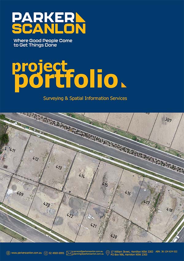
A survey utilising a UAV or drone to conduct topographic surveys, monitoring surveys and inspections from the sky. Aerial surveys can cover large areas efficiently and result in accurate imagery and data.
