Digital Mapping
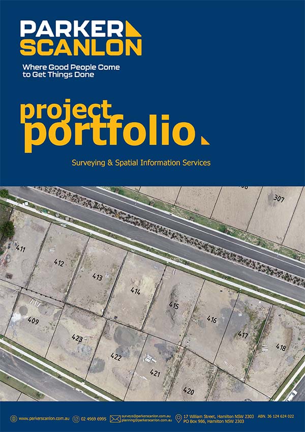
Parker Scanlon delivers precise and innovative surveying solutions, including Digital Mapping services. We utilize UAV/Drone Aerial Surveying to conduct large-scale topographic surveys, monitoring, and inspections, providing high-resolution imagery and data.
Our Terrestrial Laser Scanning technology enables the creation of digital twins and 3D reconstructions, capturing large amounts of detailed information for analysis and planning. Our Digital Terrain Modelling and Contour Generation services integrate LiDAR, photogrammetry, and Aerial Laser Scanning (ALS) data to produce Digital Terrain Models (DTMs) essential for 3D modeling, planning, and design.
Our dedicated team, ensures the seamless coordination of fieldwork tasks, working closely with builders and clients to deliver precision and reliability in every aspect of our surveying services. Whether it's digital mapping, boundary marking, or subdivision planning, Parker Scanlon provides the expertise and technology needed to get the job done right.
Parker Scanlon offers many different Digital Mapping services such as;
- Digital Terrain Modelling/Contour Generation
The adoption of various data sets including LiDAR, photogrammetry, ALS to create a Digital Terrain Model (DTM) usable for 3D modelling, contour generation, planning, design and drafting.
- Terrestrial Laser Scanning
Utilisation of a laser scanner to map an area to create a digital twin or 3D reconstruction of the site. Aimed to efficiently capture large amounts of data in high detail in a short timeframe.
- UAV/Drone Aerial Surveying
A survey utilising a UAV or drone to conduct topographic surveys, monitoring surveys and inspections from the sky. Aerial surveys can cover large areas efficiently and result in accurate imagery and data.


